Geological Formation of the Trough
The Lauterbrunnen Valley in the Bernese Oberland was carved during successive Pleistocene glacial periods when massive river ice pushed through pre-existing limestone fissures. The resulting topography is an exemplary U-shaped valley with a flat, alluvial valley floor bordered by near-vertical cliff ramparts.
Because hanging tributary valleys could not erode rock at the same rate as the main ice river, their terminal streams now spill directly over vertical rock faces. The valley contains 72 named waterfalls, of which the Staubbachfall (plunging nearly 300 metres in a delicate spray plume) and the subterranean Trümmelbachfälle (draining the glacial meltwater of the Eiger, Mönch, and Jungfrau through ten internal rock cascades) are the most topographically significant.
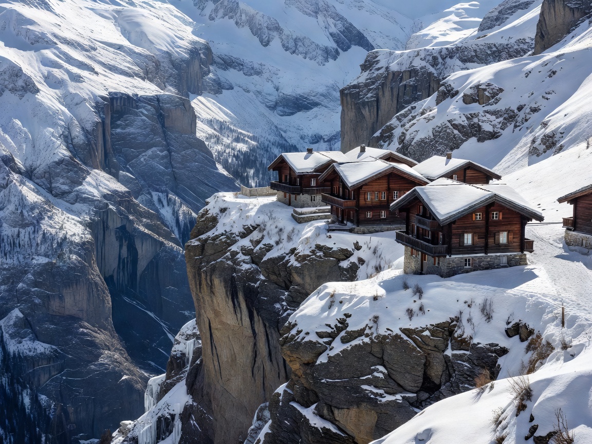
The Cliff Shelves: Mürren and Gimmelwald
Perched on the western rim of the Lauterbrunnen cliffs sits the car-free village of Mürren (1,638m). Mürren cannot be reached by road; access is managed entirely via the Bergbahn Lauterbrunnen-Mürren (BLM)—a heavy aerial cable car rising from Lauterbrunnen station to Grütschalp, followed by a narrow-gauge electric adhesion railway running along the cliff edge.
The visual line-of-sight from Mürren is horizontal rather than looking upward. Observers stand eye-level with the lower glaciated buttresses of the Bernese Alps across the chasm. Walking further down the terrace leads to Gimmelwald (1,367m), an unspoiled agricultural hamlet composed of dark-stained larchwood barns that opted out of vehicular connection in the late 20th century to retain historic conservation status.
Wengen & The Eastern Rim
Directly opposite Mürren on the eastern terrace sits Wengen (1,274m). Served exclusively by the cogwheel trains of the Wengernalpbahn (WAB), Wengen commands direct southern views down the length of the Lauterbrunnen trough and across to the Breithorn.
Wengen serves as the baseline for the historic Lauberhorn downhill ski race, the longest course in the World Cup circuit. In summer, the path following the rail tracks up to Kleine Scheidegg provides an uninterrupted panorama of the notorious north face of the Eiger (Eiger-Nordwand), where 1,800 metres of black limestone and ice fields rise directly above the alpine pastures.
Optimal Viewpoints & Walking Transits
To experience the lateral perspective of the valley without vehicular interference, three specific walking corridors provide superior line-of-sight:
- Grütschalp to Mürren Panoramic Path: An easy 4.5km traverse that hugs the contour line above the tree belt, keeping the Eiger, Mönch, and Jungfrau continuously centered in the viewscreen.
- Mürren Via Ferrata: A protected climbing trail traversing iron rungs and wire bridges bolted directly into the sheer 600-metre drop between Mürren and Gimmelwald.
- Stechelberg Valley Floor Walk: A flat, tranquil pathway along the Lütschine riverbed passing beneath the spray of the Staubbachfall and Mürrenbachfall.